Along the Highway
Hurricane Point
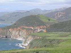
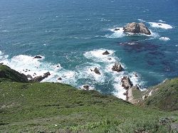
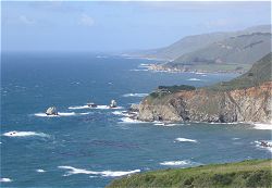
Hurricane Point is a relatively high point on Highway 1 in the Big Sur region, and it is also very exposed to the north and south as well as to the west. When I get out of my car at one of Hurricane Point's three large highway turnouts, I don't question the name "Hurricane Point": it seems always to be windy there. There is a good view of Bixby Creek Bridge to the north.
Activities, Facilities, and Services
- Public Transit stop (seasonal)
- Scenic Vistas
Location
- Marker: MON 58.3
- Ends:
- 14 miles (23 km) from N
- 75 miles (120 km) from S
- Geo: Lat N 36° 21.372 Lon W 121° 54.143
- Google map
- Aerial coastal photos
Has this Web site, A Guide to California's Big Sur, been worth something to you as you plan a trip to Big Sur -- maybe fifty cents? a dollar? If so, you can, if you wish, contribute that amount to help defray this site's costs. Learn how.


