Along the Highway
Hearst Castle® vicinity
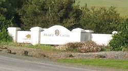
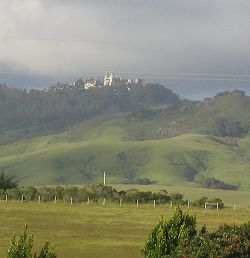
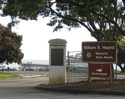
The Hearst Castle® vicinity is the arbitrarily-defined south end of the Big Sur region for the purpose of this Guide. On the east side of Highway 1, an access road leads to the parking area for Hearst Castle. On the west side of Highway 1, an access road leads to the parking area for William Randolph Hearst Memorial State Beach. There are fees for use of each of these locations.
Commercial services and camping are available in or near the towns of San Simeon and Cambria, a few miles to the south on Highway 1.
Reference
- Hearst Castle® (Hearst San Simeon State Historical Monument®), California State Parks
- Hearst San Simeon State Historical Monument®, California State Parks
- William Randolph Hearst Memorial State Beach, California State Parks
Activities, Facilities, and Services
- Hearst Castle 805.927.2020
- Restaurants - Food
- Restrooms
- Telephone Services: public telephone
- Gift Shops and Galleries
- Ranger Stations
- Scenic Vistas
- Wildlife Viewing: The Bus Route
- Guided Tours (access to Hearst Castle is by guided tour only; reservations are required)
- Historical Interest: Hearst Castle history
- William Randolph Hearst Memorial State Beach 805.927.2020
- Restaurants - Food
- Picnic Areas
- Restrooms
- Telephone Services: public telephone
- Supplies
- Scenic Vistas
- Wildlife Viewing
- Hiking and Backpacking
- Coastal Access
- Fishing
- Swimming
- Historical Interest: exhibits and programs
- Towns of San Simeon and Cambria and vicinity
- Lodging - Accommodations - Hotels - Resorts - Motels - Inns - Cabins
- Camping - Campgrounds: San Simeon State Park
- Restaurants - Food
- Restrooms
- Telephone Services: public telephone
- Supplies
- Gift Shops and Galleries
- Post Offices: on San Simeon Ave in San Simeon, on the west side of Highway 1 about a mile south of this location
- Gasoline (includes diesel fuel in nearby Cambria)
- Emergency and Medical Services
- Surfing: Pico Creek in San Simeon, Moonstone in San Simeon, and Santa Rosa Creek in Cambria
Location
- Marker: SLO 57.8
- Ends:
- 89 miles (143 km) from N
- 0 miles (0 km) from S
- Geo: Lat N 35° 38.616 Lon W 121° 11.137
- Google map
- Aerial coastal photos
Has this Web site, A Guide to California's Big Sur, been worth something to you as you plan a trip to Big Sur -- maybe fifty cents? a dollar? If so, you can, if you wish, contribute that amount to help defray this site's costs. Learn how.


