Along the Highway
Garrapata State Park
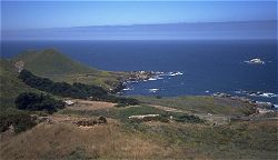
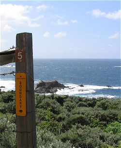
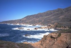
Visitors to the area need travel no further south than Garrapata State Park (and as far south as Hurricane Point) to see Big Sur's famous rocky coastline at no cost. Access to the park is by means of 19 numbered turnouts along Highway 1, and these are easy to miss if you are driving quickly. For those traveling south, the northernmost turnout (numbered "1") is immediately after a "Garrapata State Park" sign posted on a hillside to the right and at a roadside mile marker labeled "MON 67.20". These mile marker values get smaller in value as you travel south. Therefore, as you leave Carmel Highlands traveling south, watch for markers labeled 69.00 and 68.00 so you do not overshoot. The southernmost turnout is numbered "19" and is just north of a mile marker labeled "MON 63.00"; northbound travelers should look for Rocky Point and then the Abalone Cove Vista Point turnout on the ocean side of the highway as signals that turnout 19 is just ahead. All turnouts are on the ocean (west) side of the highway.
Trailheads for trails going east into the back country are on the east side of the highway opposite turnouts 7 and 8. Trails onto Soberanes Point, west of the highway, are at turnouts 8, 9, and 10. There is a scenic overlook with a bench at gate 17. Garrapata Beach can be reached at turnouts 18 and 19.
The trails and restrooms at this park are not accessible to visitors with physical disabilities.
Reference
- Information 831.624.4909
- Related Web sites
- Garrapata State Park, California State Parks
- Park brochure, PDF file 952Kb, requires Adobe® Reader®
- Garrapata State Park, California State Parks
Activities, Facilities, and Services
- Restrooms: at Soberanes Point, one between turnouts 8 and 9 and one on the trail south of turnout 10.
- Public Transit stop (seasonal)
- Scenic Vistas
- Wildlife Viewing
- Hiking and Backpacking
- Bicycling - Bike Trails: Rocky Ridge Trail, east of Highway 1, accessed across from turnout 7. (Bikes are not permitted on other trails in this park.)
- Coastal Access
- Fishing: ocean
Location
- Marker: MON 67.2 to 63.0
- Ends:
- 5 to 9 miles (8 to 15 km) from N
- 80 to 84 miles (128 to 135 km) from S
- Geo (north end): Lat N 36° 28.295 Lon W 121° 56.087
- Geo (south end): Lat N 36° 25.143 Lon W 121° 54.794
- Google map
- Aerial coastal photos (north end)
Has this Web site, A Guide to California's Big Sur, been worth something to you as you plan a trip to Big Sur -- maybe fifty cents? a dollar? If so, you can, if you wish, contribute that amount to help defray this site's costs. Learn how.


